GWS Trip Report, Little Cahaba & Cahaba Rivers, May 2010
By Curt Cole
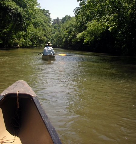
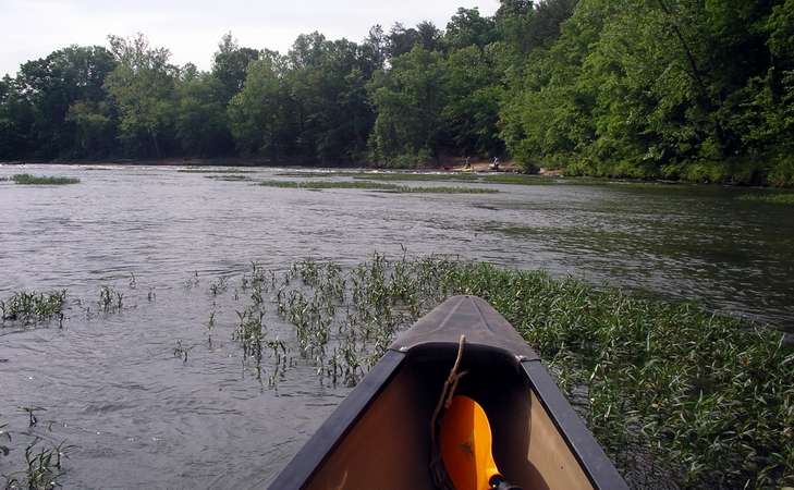
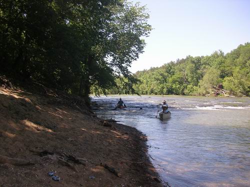
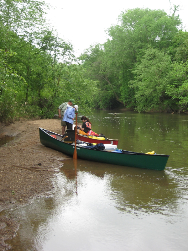
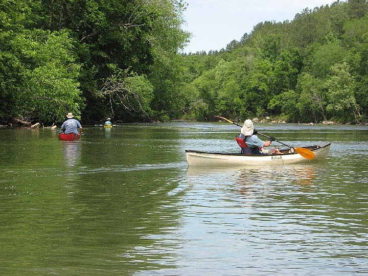
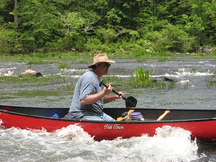
Basil Youman initiated this trip, but work threw a wrench into his plans, so I volunteered as coordinator. Friday, May 7, Tom Payne, Irene Cole & I paddled 8.6 miles beginning on the Little Cahaba River at Bulldog Bend (Bibb Co. 65/Bulldog Bend Road, unload under the bridge), and taking out at Bibb 26/River Bend Road (gravel parking lot on river left) on the Cahaba River. This is an easy paddle with a few small rapids. The last couple miles or so are on the Cahaba River, a considerably larger river than the Little Cahaba. Mountain laurel was in bloom, but the shoal lilies were just beginning to bloom. The Cahaba gauge at Centreville read 1,190 cfs & 3.5’, which was a reasonable level. Only hung up a couple times paddling tandem in an aluminum boat. Took about 3.25 hours of paddling. For those needing to rent boats or shuttle, Limestone Park operates a little further up the Little Cahaba.
Irene headed home to work & Terry Ross and my friend Jeff Sorensen arrived to camp at my cousin Jim Potts’ farm near Brierfield, Alabama. We all ate at the Mexican restaurant in Montevallo then enjoyed a campfire.
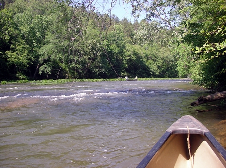
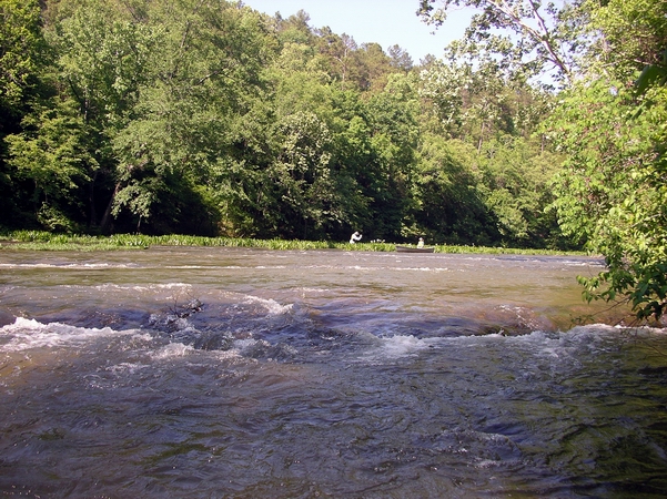
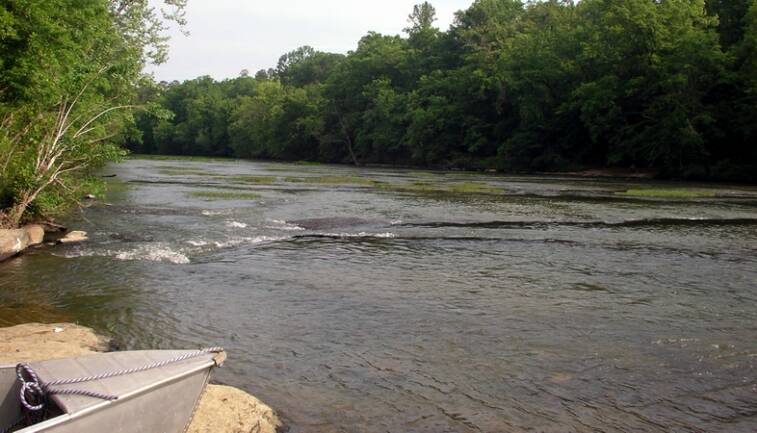
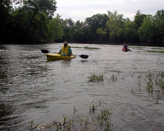
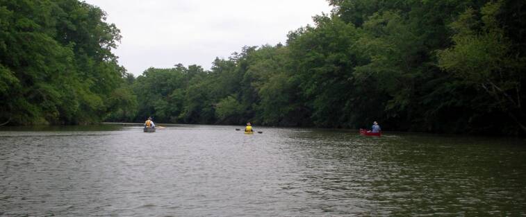
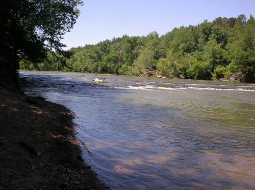
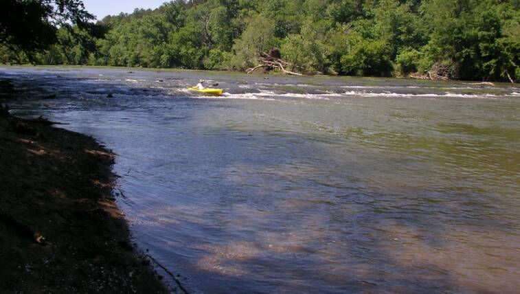
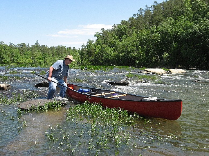
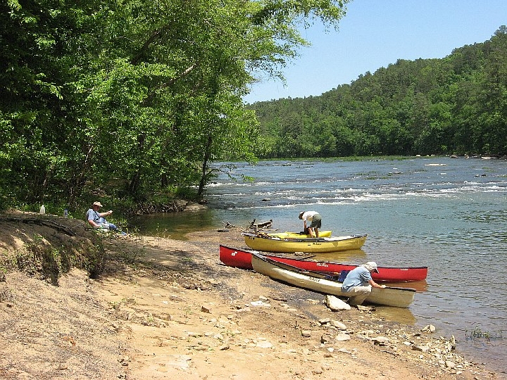
Saturday morning, the four of us put-in on the Cahaba at Boothton (Shelby Co. 251, gravel parking lot river left) and paddled about 14 miles to the Cahaba Wildlife Management Area gravel parking area a few hundred yards below the Bibb 24/Cahaba River Drive bridge at Piper, on river right. This trip took about 6 hours of paddling. Centreville gauge was 3.2’ & 1050 cfs. Decent water level but I hung a few more times at the shoals where the river really widens. But a 17’ keeled aluminum boat tends to hang easily. The plastic boats didn’t have too much trouble, but I’m sure this river can get very scrapey during the summer.
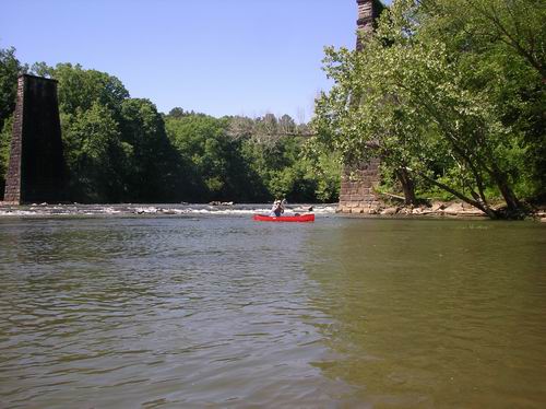
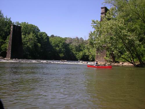
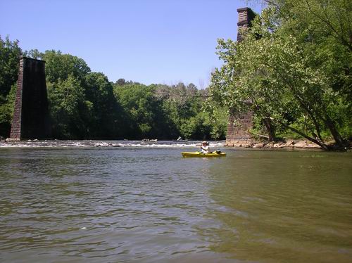
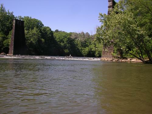
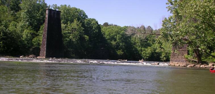
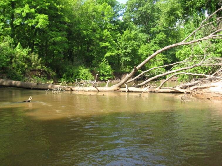
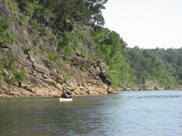
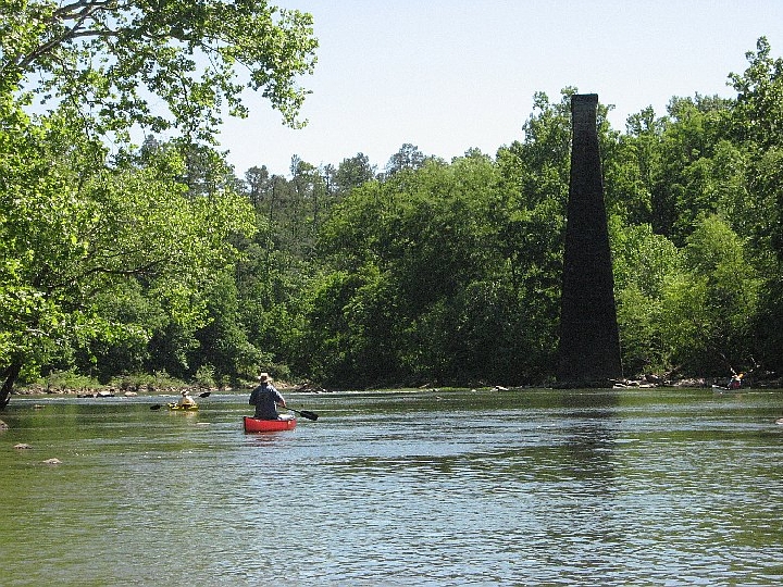
Although this area was heavily mined for coal, both above and underground, the decades since major mining ceased has allowed the land to recover, so you don’t see scars of that era. There are stone piers at a couple of abandoned railroad bridge sites. Some impressive cliffs are along the river. The dangerous Marvel slab that’s mentioned in John Foshee’s old book Alabama Canoe Rides and Float Trips has been removed. His maps of the river are excellent and accurate. Some of the road numbers have changed though. Get a Bibb County map from the Chamber of Commerce in Centreville.
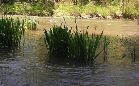
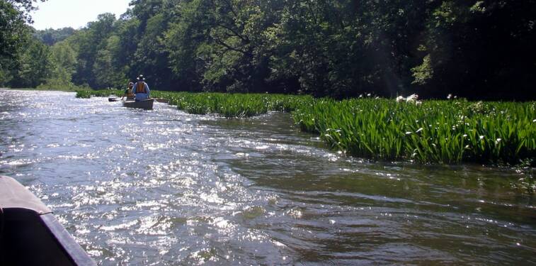
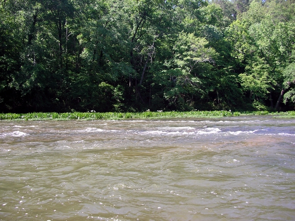
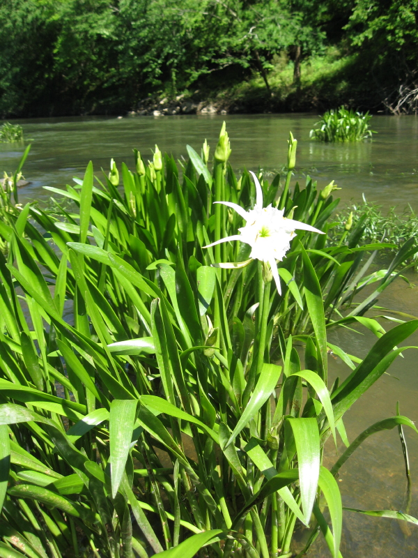
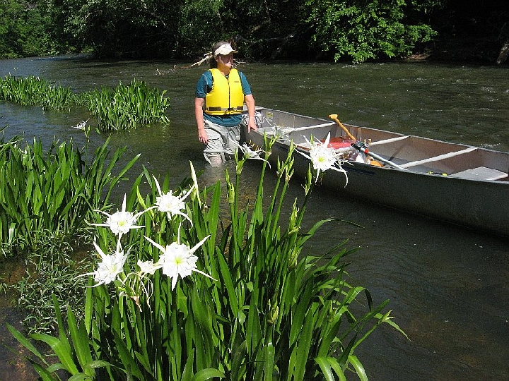
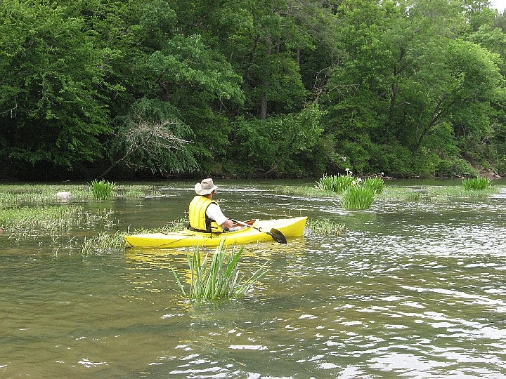
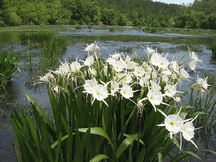
On Sunday, we put-in at Piper and took out at Bibb 26/River Bend Road, a six mile trip. Paddling my plastic whitewater boat this day was much more fun than the aluminum barge. I rarely stuck, although the shoals were just as shallow as Saturday’s. Had a nice drop of two feet or so at the old railroad bridge, near the left pier. No capsizes any of the three days. Jeff is fairly new to paddling, especially whitewater, but he did well. Gauge was 2.9’ & 920 cfs. Took a little under 3 hours. We averaged 2.3 to 2.6 mph, excluding lunch stops, on these three days. The large stand of famous shoal lilies was not blooming much yet, (they usually bloom from about Mother’s day to Father’s day), but the shoals were beautiful. No development to speak of. These sections make for a really nice river to paddle in the spring and I encourage it. The Cahaba reaches the coastal plain below Centreville, so from there it probably has adequate water for paddling all year.